I have noticed the desire to hike up some similar mountains via new and different routes. Once you finish the 4000'ers and all of the other major peaks in the Whites, there are still many wonderful hikes to be found by looking at the less used trails or by stringing them together in interesting combinations. This was one of those trips. I've been up the Tripyramids many times, always using the standard route from the Livermore Road and the slides. It's a great trip, but I wanted something different this time. Mohamed is always easy to fish for a mid-week hikes, so he and I arranged to meet at the Sabbaday Brook trailhead at 9:30 and figure out the car spot and direction of the hike there. Due to one tricky section on Sabaday, we elected to go up it.
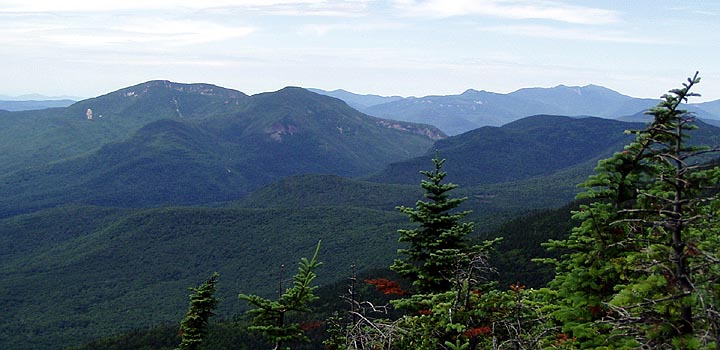
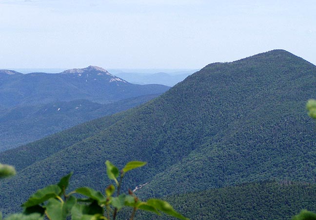
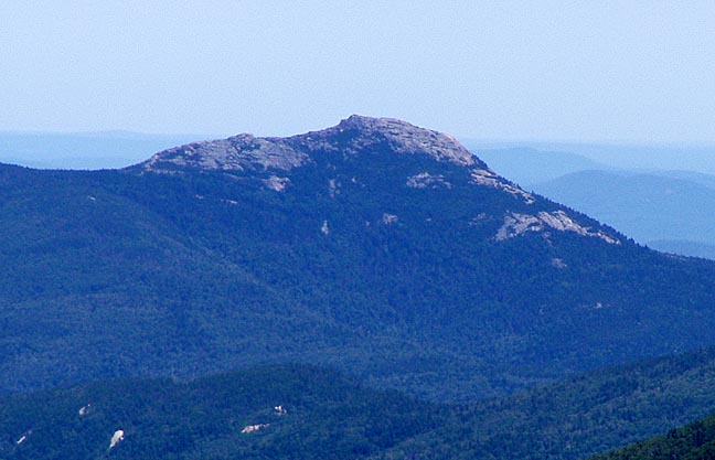
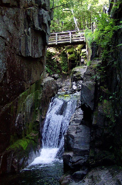
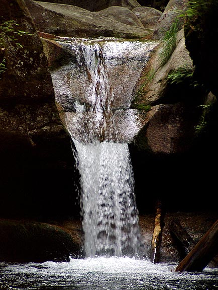
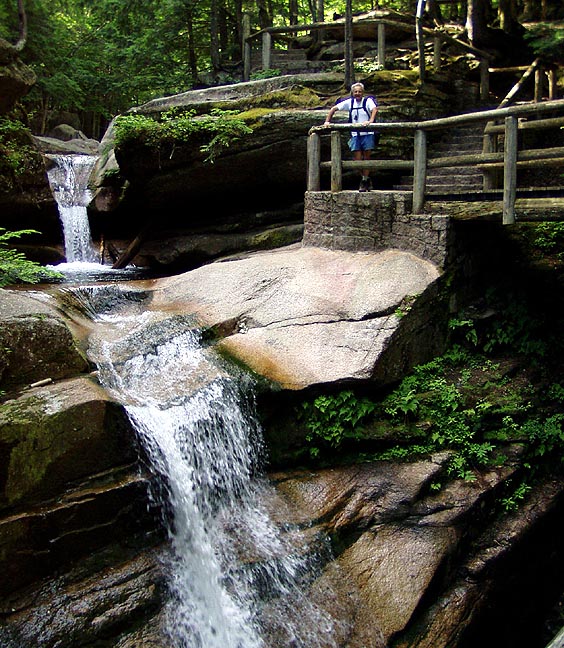
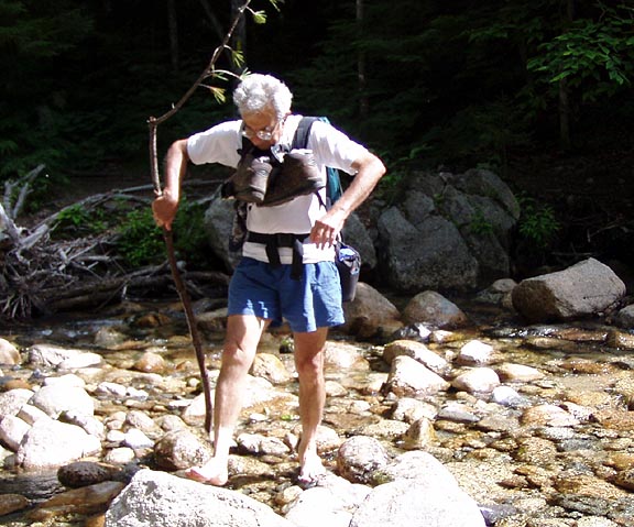
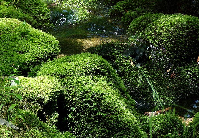
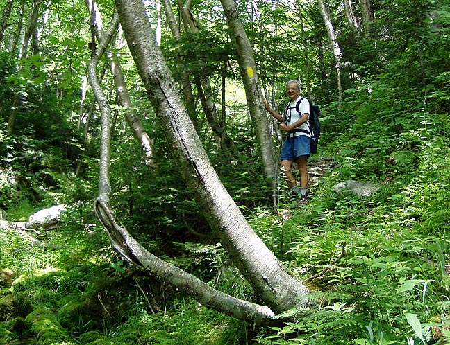
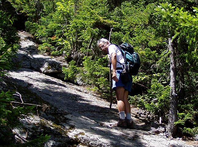
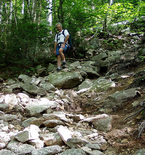
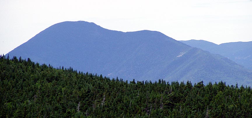
There was only one other car in the lot so were weren't expecting to see many folks. We dropped my car at the Pine Bend Brook trailhead, just a mile up the road. After 5 minutes of hiking you come to the falls, which were flowing very nicely. The viewing area is set up very well, gravel paths and wooden railings, if you are driving by it's worth the time to stop and visit. After that, the trail reverts to rocks and roots. At one somewhat difficult stream crossing we met up with a group of about a dozen kids and leaders coming out from several days in the woods. They looked happy to be headed out, and some just walked right across the stream without trying to keep their feet dry. There was one tricky place near a stream crossing with a side path to some camping spots, we lost the trail for a few minutes. I was very impressed with the green mossy terrain, and the lush vegatation. Eventually we hit the tricky section that Mohamed remembered from his winter trip. There are steep slabs of rock that require faith in the soles of your boots. But it also affords the first views of the trip, some of Chocorua and the Fool Killer.
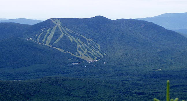
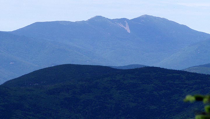
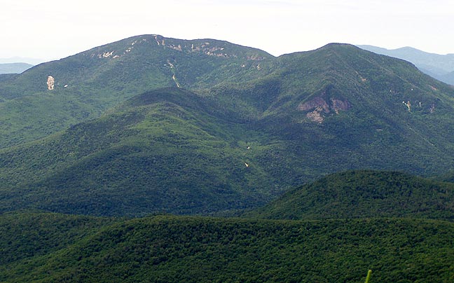
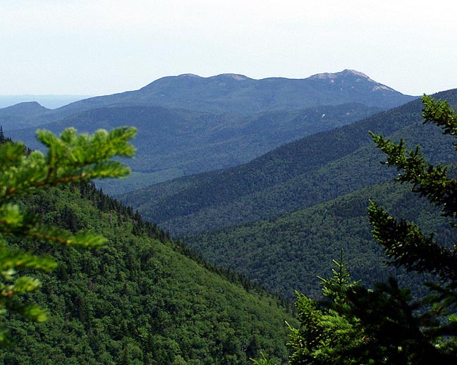
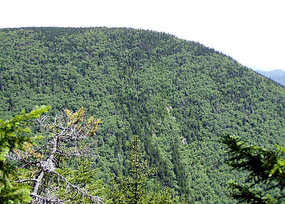
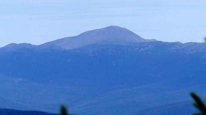
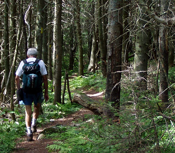
Once past that, there's still some climbing before you hit the Tripyramid Ridge, between North and Middle peaks. We paused briefly, then headed to Middle for lunch. There were a few folks up there, practically the first people we'd seen all day. It was mostly clear and we had nice views through the trees up there. We eventually packed up and headed for North Peak, the others headed down the south slide. Along the ridge we met up with a few more folks, all hiking from Waterville Valley. We had North Peak to ourselves, but there's not much to do there. I had planned to pause on the top of the North Slide, but I completely missed the turnoff and instead we just headed right down the Pine Bend Brook trail. This trail has some steady steep sections, rough and hard on the legs. It was also getting hot in the afternoon, I was a bit tired, but the occasional view of Carrigain and Washington helped out. Eventually we ended up along Scaur Ridge, a section of trail that I enjoyed very much. After the Scaur Ridge trail junction, we started a short bushwack to Scaur Peak, one of the NH 100 Highest, but turned around because neither of us really cared about it. The rest of the hike down was uneventful, no difficult sections, but long. Finally, we heard the cars on the Kanc and the day was done. Look for those less used trails, on the weekdays especially, you can have them all to yourself.