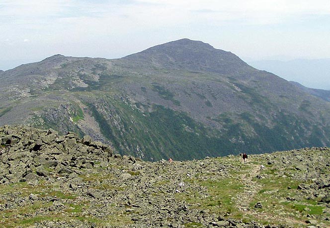
Adams from Jefferson Summit
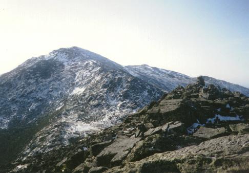
Mt Adams - 5774'
The northern Presidentials are dominated by Mt Adams, the second highest peak in NH. It is a long trip from any trailhead, but unlike Washington there are several places to stay on the mountain. The Randolph Mountain Club (RMC) runs four backcountry facilities on the northern flanks of Adams; Gray Knob, Crag Camp, the Perch, and the Log Cabin. There are also designated campsites in the Great Gulf, the huge glacial ravine to the south of the peak. The Appalchian Mountain Club (AMC) runs Madison Springs Hut a short distance from the summit. Just below the hut on the Valley Way, are the Valley Way Campsites, with two tent platforms.
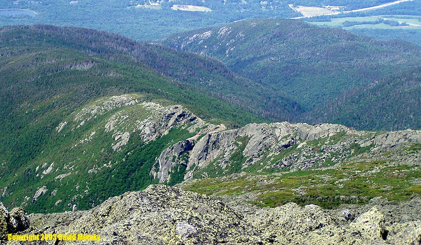
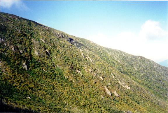
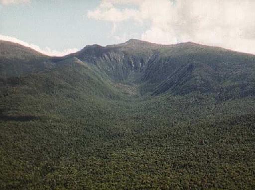
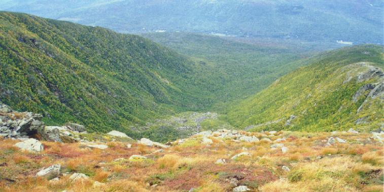
Adams is located in some of the most difficult and rough terrain in NH. There are two prominent ridges on the north side Durand and Nowell with King Ravine, a large glacial cirque named after Rev. Starr King, in between. To the south, the Great Gulf dominates. The AT runs along the Gulfside trail, with Jefferson to the south and Madison to the north. In the col between Adams and Madison lies Star Lake.
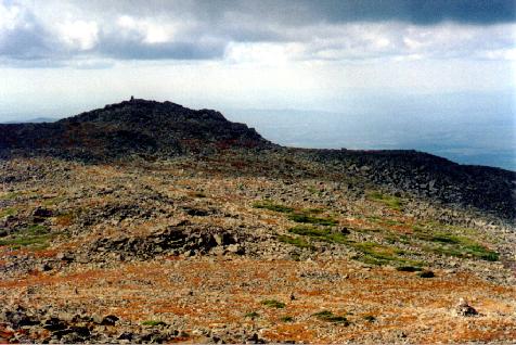
There are a few smaller peaks near the main summit, including JQA, Sam Adams, and Adams 4 and 5.
Hiking Trails
- Valley Way - This is one of the most well used and protected of the trails from the north. The trail climbs steadily from Rt 2 to Madison Hut. From there follow the Gulfside Trail over ot Airline and take that directly to the summit. Total distance 4.7 miles with an elevation gain of 4500'.
- Airline - A direct but exposed route with excellent views; take care in bad weather. Starting from Appalachia, the trail climbs fairly quickly to treeline at roughly 3 miles. From there it stays on the Durand Ridge and crosses the narrow Knife Edge before crossing the Gulfside trail and climbing rocky summit cone. Total distance 4.3 miles with an elevation gain of 4500'.
- King Ravine Trail - This is one of the more challanging routes up Adams, climbing up through the rugged King Ravine and up the headwall. Starting at Appalachia go up the Airline to Shortline to Randolph Path, eventually hitting the King Ravine trail at 2.7 miles. After passing Mossy Falls it reaches the floor of the ravine and there are two options, the Elevated which is the easier route and the Subway which climbs over, under, and around many large boulders. Another short side trip is the Ice Caves Loop. The trail climbs over 1000' in half a mile, topping out at a junction with the Airline trail and following it to the summit. Total distance 4.6 miles with an elevation gain of 4500'.
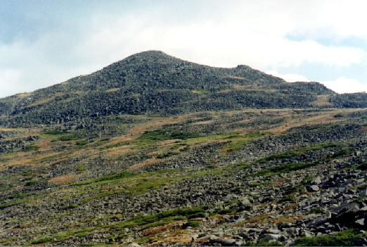
- Lowe's Path - Possibly the most popular route to the summit of Adams, Lowe's Path passes close by two of the RMC facilities. It starts across Rt 2 from Lowe's Store where parking is available for a small fee. The trail climbs slowly at first, getting steeper higher up. At 3.2 miles it hits the Quay with excellent views and the short trail to Gray Knob. Above there the trail is above treeline, passing over Adams IV to Thunderstorm Junction and on to the summit. Total distance 4.7 miles with an elevation gain of 4500'.
- Star Lake - This trail is an alternate route from Madison Hut to Adams. It heads from the hut past Star Lake then climbs steeply over rocky terrain to the summit from the Great Gulf side. Total distance 1.0 miles with an elevation gain of 1000'.
Trailheads
- Appalachia - On Rt 2, approx one mile east of Lowe's Store. Access to Airline, Valley Way and many other trails. A WMNF parking pass is not needed here.
- Lowe's Store - On Rt 2, 4 miles west of intersection with Rt 16 in Gorham. A private parking area is run by Lowe's Store and a fee is charged per day. There is no parking allowed on Rt 2.
- Randolph East - On the Pinkham B (Dolly Copp) road, just .2 miles from Rt 2. The trailhead for Randolph Path requires a WMNF parking pass.
Additional Photos
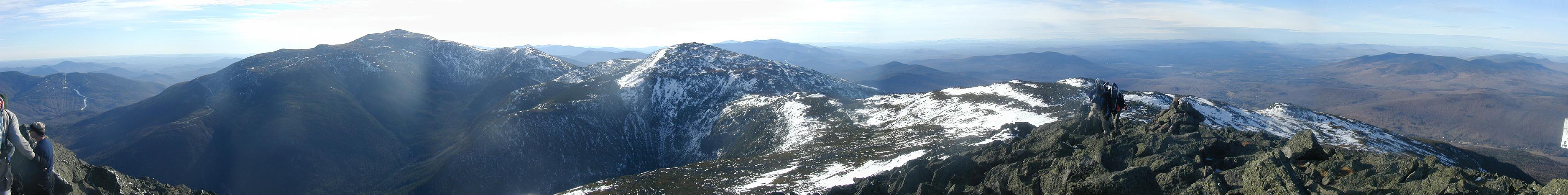
- Panoramic from the summit
- Panoramic from just above treeline on Lowe's Path
- Adams from Lowe's Path
- Approaching the top
- Adams in winter from Madison Springs Hut
- From Madison in winter
- Adams and Madison from Rt 16
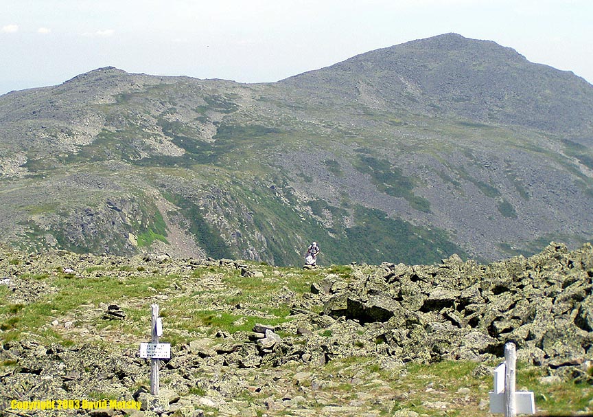
- Adams from Jefferson
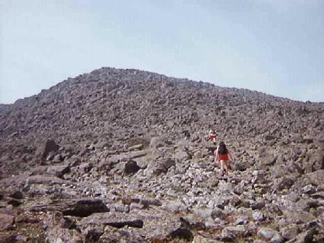
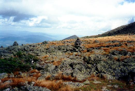
- The Rocky Summit Cone
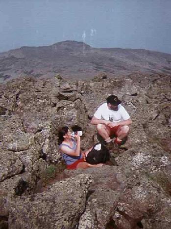
- On the Summit
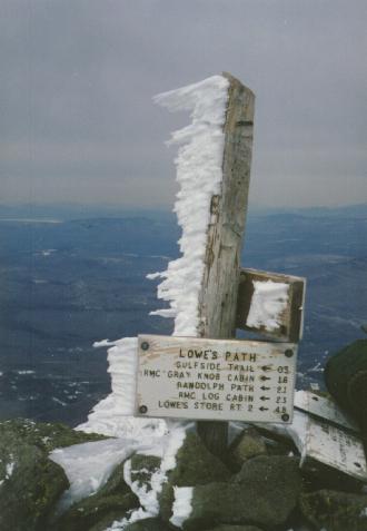
- Summit Signs
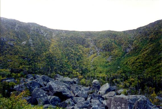
- King Ravine from Above
- From Madison in Winter
- Mt John Quincy Adams
- Summit from Adams 4
- Alpine Tundra near T-Storm Junction
- Summit Sign in Winter
- King Ravine Headwall
- Northern Presidentials from Lookout Ledge
Trip Reports
- Overnight at Madison Hut
- Up Castle Trail, down Lowe's Path
- Novermber dayhike up Lowe's Path
- Dayhike up King Ravine
- Howker Ridge Overnight
- Another King Ravine dayhike
- One Day Presidential Traverse
Other Links
- Madison and Adams dayhike
- Aetherius Society Religious organization that considers Mt Adams to be a "Holy Mountain".