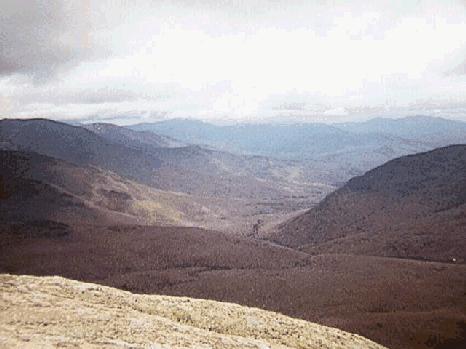
From Garfield looking south
Pemigewasset Wilderness
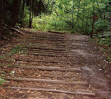
The Pemigewasset Wilderness is a federal Wilderness Area. Many people commonly refer to the "Pemi" as the area bounded by Franconia Ridge on the west, the Kangamagus Highway to the south, Rt 3 to the north, and Rt 302 to the east. It contains or is bordered by the following mountains; Lafayette, Lincoln, Liberty, Flume, Galehead, Garfield, Owl's Head, North Twin, South Twin, Bond, Bondcliff, West Bond, Carrigain, the Hancocks, Tom, Field, Willey, and Zealand.The camping areas in the Pemi include; 13 Falls, Franconia Brook, Guyot, Garfield Ridge, Liberty Springs, and Ethan Pond. There are three AMC huts in the area; Galehead, Greenleaf, and Zealand.
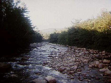
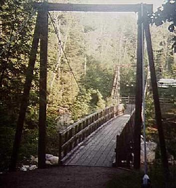
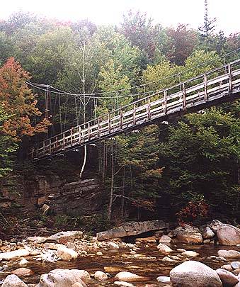
The area gets its name from the Pemigewasset River, which runs through the heart of the region. On the west side of the river runs the Wilderness trail, an old logging railroad bed. The trail starts at the Lincoln Woods trailhead where it crosses the river on a suspension bridge. There is another bridge 5 miles up that crosses west to east at the Cedar Brook trail.
There are several camping restrictions in the Pemi. No camping or fires are allowed above treeline, nor is it allowed within .25 miles of the following: 13 Falls, Thoreau Falls, Galehead Hut, Garfield Ridge Campsite, Guyot Shelter, the Willderness Trail and the East Branch of the Pemigewasset River inside the Wilderness Area. No camp site may be used by groups of more than 10 people.